The Best River Photo Spots around Niagara Falls in Canada
Explore River pictures of Niagara Falls with the travel spots on a map
Download the Travel Map of Canada on Google Maps here
8 River Spots of Niagara Falls on a Map
Pictures of River on the interacive map of Niagara Falls
Download On Google Maps 🗺️📲River Spots and Pictures around Niagara Falls
Discover popular destinations in Niagara Falls with their travel guides
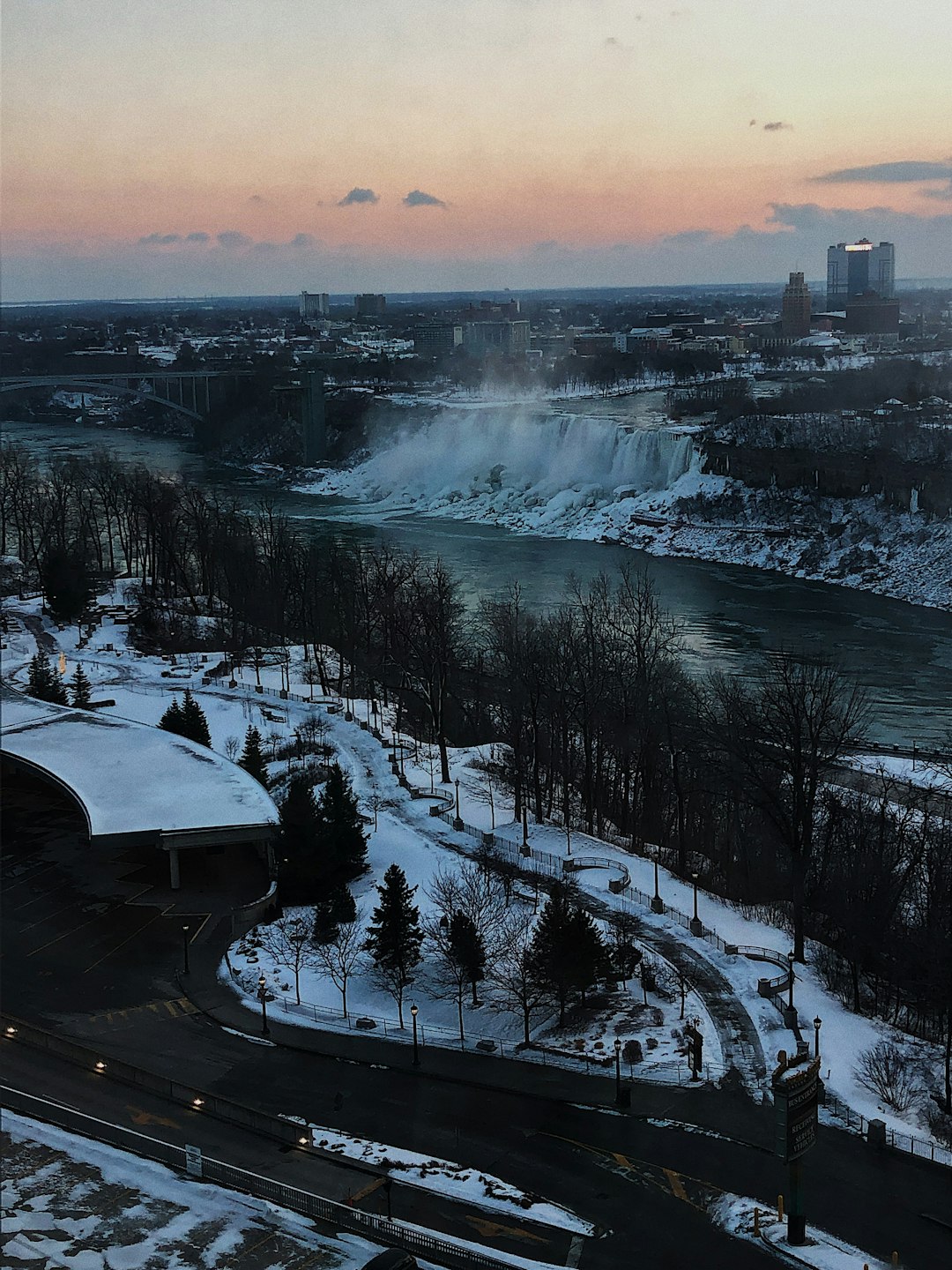
Niagara Falls
Read the Travel guide View on Google Maps
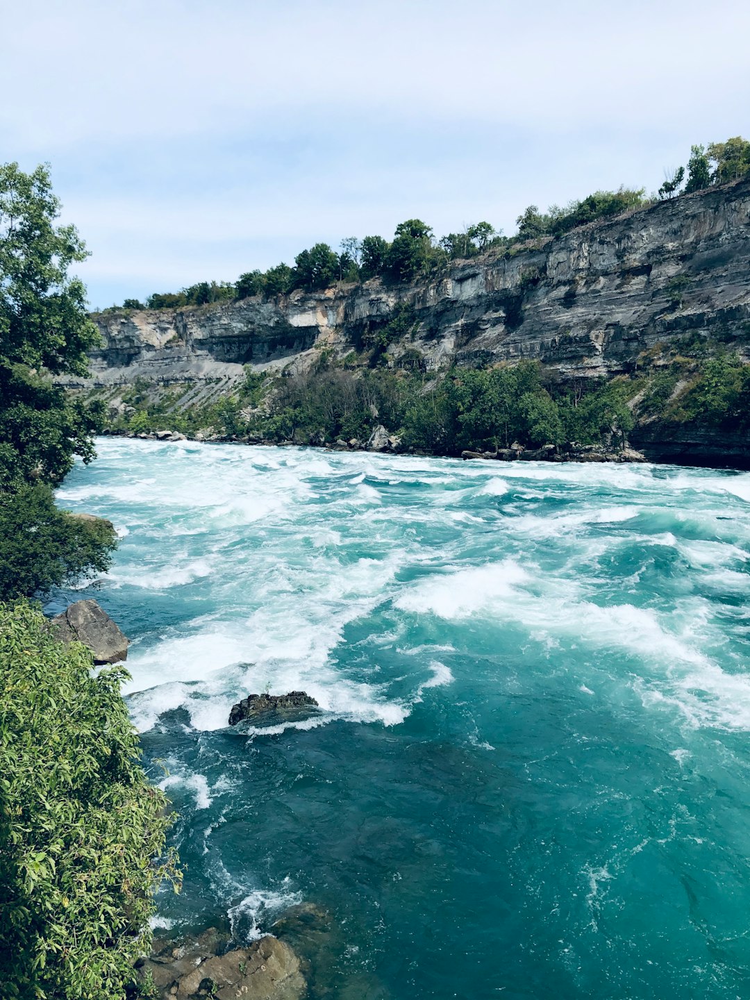
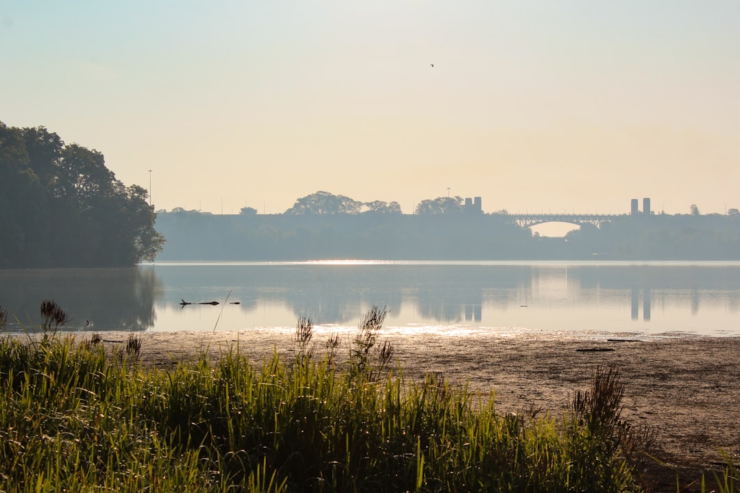
Niagara River
3 km away from Niagara Falls
Read the Travel guide View on Google Maps
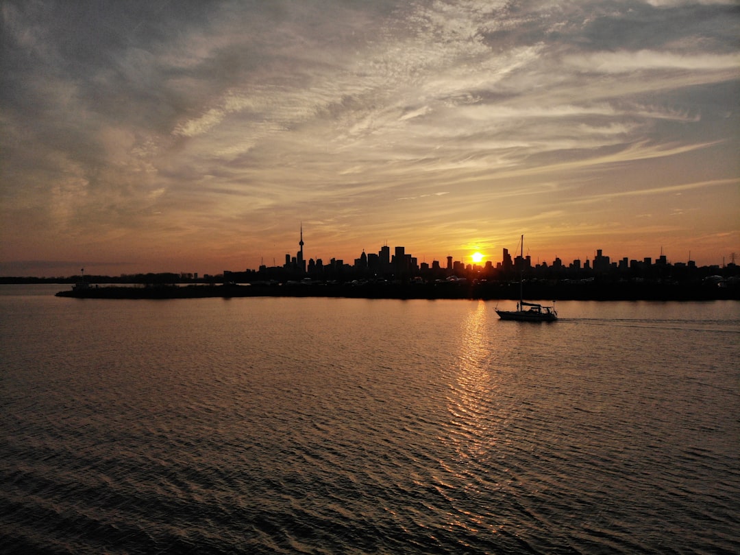
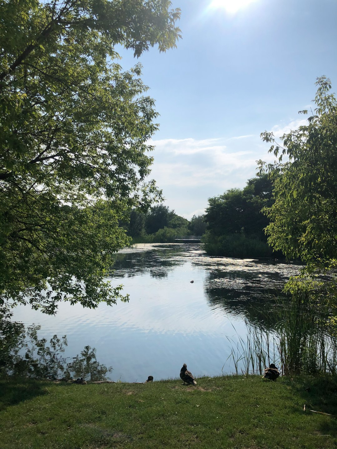
Unnamed Road
64 km away from Niagara Falls
Read the Travel guide View on Google Maps
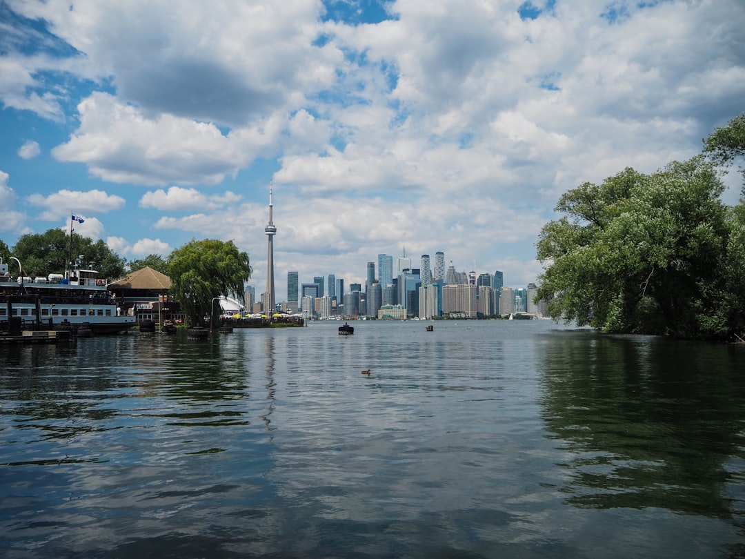
Toronto Islands
64 km away from Niagara Falls
Read the Travel guide View on Google Maps
Hamilton
66 km away from Niagara Falls
Read the Travel guide View on Google Maps
Colonel Samuel Smith Park
66 km away from Niagara Falls
Read the Travel guide View on Google Maps
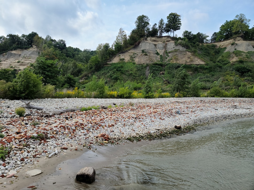
Bluffers Park
70 km away from Niagara Falls
Read the Travel guide View on Google Maps
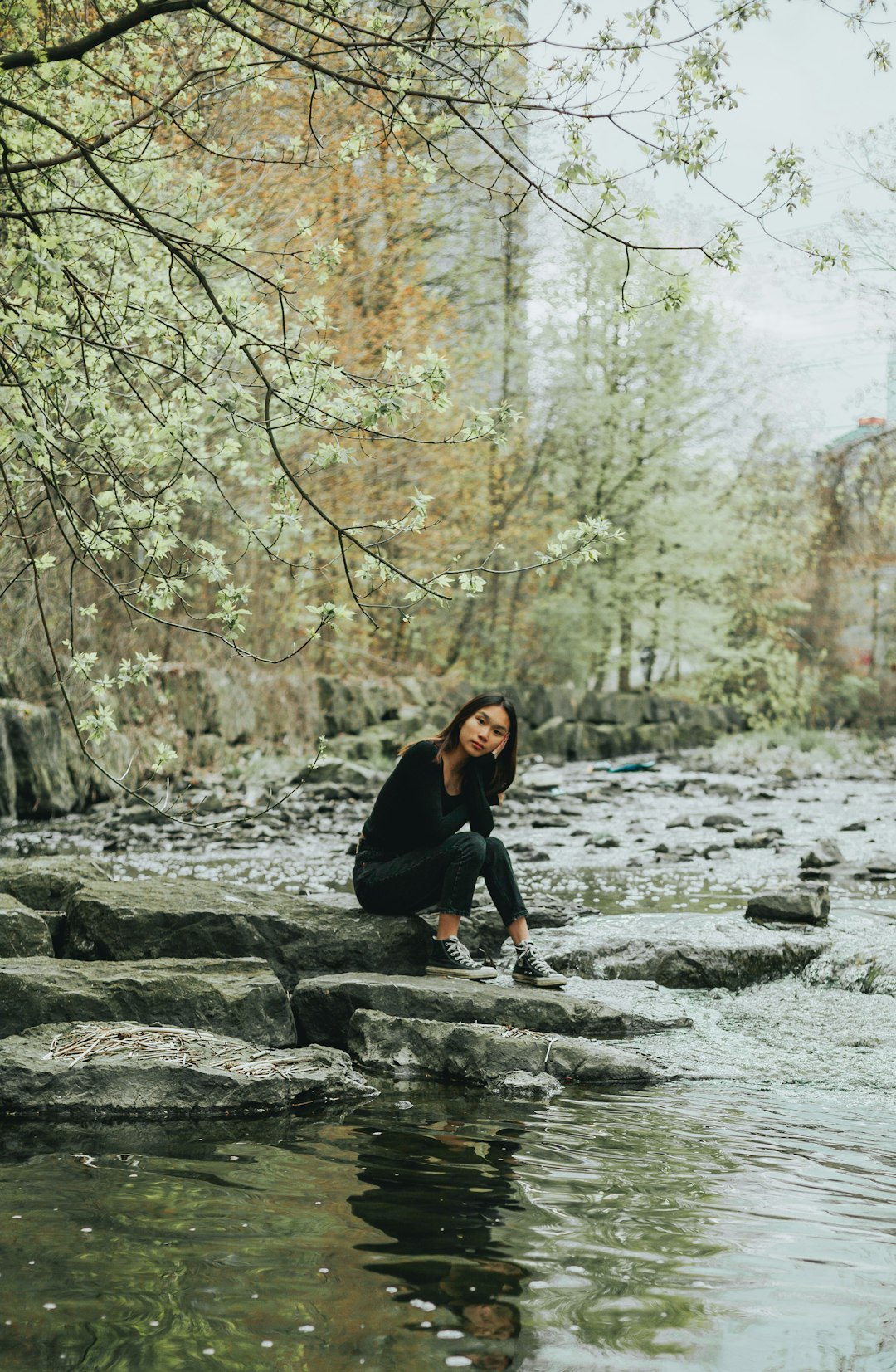
Mississauga
72 km away from Niagara Falls
Read the Travel guide View on Google Maps
Book your Travel Experience in Niagara Falls
Discover the best tours and activities in Niagara Falls and book your travel experience today with our booking partners
Learn More about Niagara Falls
Find Hotels in Niagara Falls
Discover the best hotels around Niagara Falls, Canada and book your stay today with our booking partner booking.com